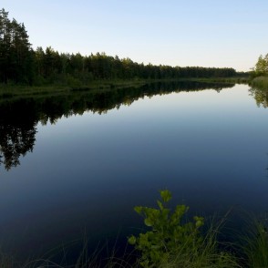
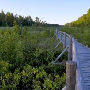
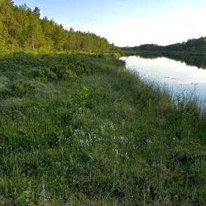
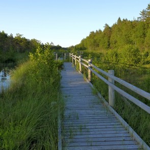
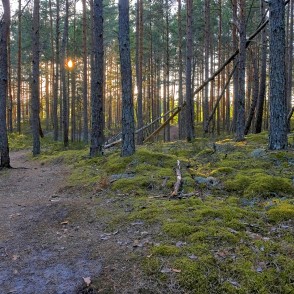
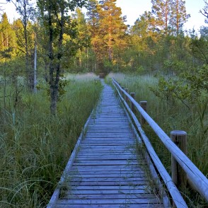
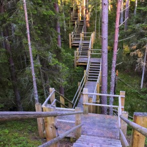
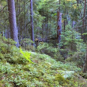
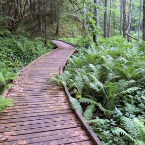
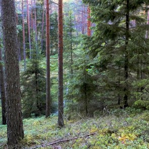
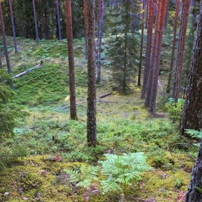
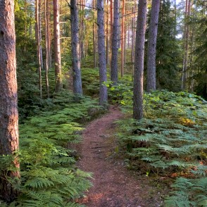
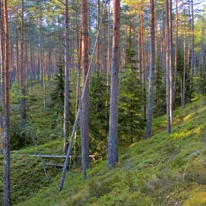
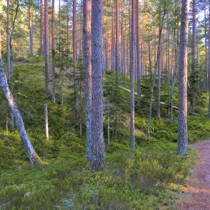
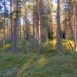
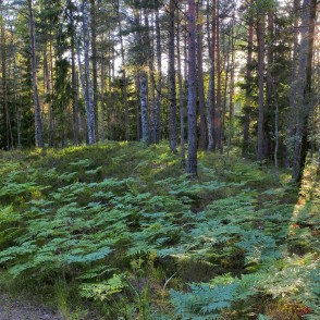
The trail extending for 3.4 km leads through a globally unique nature structure that cannot be found elsewhere in the world - a system of dunes and depressions between dunes. The dunes are located parallel to the sea.
Dunes and depressions were formed 9000 years ago when the Baltic Sea was emerging here. During ancient times almost each dune and depression had its own name that are known by just few nowadays. The peculiar names (Vīškangars, Kusperlankviga) originate from the Livonian language.
Pēterezers lake depression is richest from the point of view of biologic diversity, this is the habitat for rare species of plants and animals. The coast of the ancient sea — Stiebrukalns — is the highest dune.
The trail crosses the former route of the narrow railway, which is one of the longest and highest dunes, the depression of Stiebrukalni and Pīļu pond. Mazbānītis [the little train] was in operation here until 1962 and this was an important local means of traffic connecting Dundaga and coastline villages with Ventspils and Talsi.
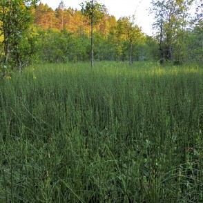
A peculiar landscape is made by grass bogs, rivers, small lakes and diverse plants. In springs and autumns the depressions turn into long seasonal lakes that are difficult to cross.
visit.dundaga.lv
Slītere National Park is called to be an “open-air museum” development stage of the Baltic Sea which is the youngest see in the world. Witnesses of these geological processes are hills Šlītere Zilie kalni that are a cliff of the Baltic Ice Lake (a stage of the Baltic Sea 10,000 years ago), hills Stiebru kalni that are a shore of Ancylus lake (8-9 thousand years ago), and the biggest European landscape of dune strips or the so-called kangari and wet depressions between the dunes or the so-called vigas that have formed from the times of Litorina Sea (4-7 years ago).
Hills Šlītere Zilie kalni are a significant tourism resource since beacon of Šlītere and a sightseeing tower are located on their edge, while Šlītere nature trail has been arranged in their slope and foot.
Mild climate of the Northern Kurzeme is a reason for occurrence of many rare Latvian plants (about 860 plant species). And due to their geographical location, the hills are a place of bird concentration, and during spring migration, they are crossed by at least 60,000 birds in an hour.
Slītere National Park is also a home of Baži bog (reserve zone) which is a raised bog of the coastal type covering 2,646 ha. The bog has formed as the sea bottom raised in the period after the ice age. Probably its rise has continued in the historical age as well since the old population shows different stone stacks as old vessel piers far away from the coast.
The coast of the Baltic Sea has been populated since old times: old fishing villages of the Livs — Sīkrags, Košrags, Pitrags, Saunags, Vaide, Kolka, and Uši — are located here. Economic activity has significantly changed the coastal landscape, as it blossomed in the Livs’ villages by the World War II, but afterwards was affected by the closed zone of the Soviet military regime. During those times, economical activity of the Livs’ fishing villages in the coast of the Baltic Sea was terminated and partly continued only on the side of Gulf of Riga. Now majority of the fishing villages such as Sīkrags, Saunags, Pitrags, Košrags, and Vaide have almost decayed and there is no economical activity any more. Activity in the villages increases in the summer when summer residents arrive.
The southern part of the park and surrounding area of Šlītere nature monument once was populated by the so-called “hill people” whose economical activity differed from the one of those living in the coastal fishing villages. Here such populated areas as Šlītere and Dūmele have formed.
www.daba.gov.lv

